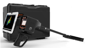
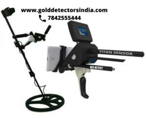
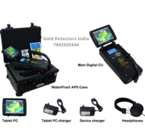
What is a 3D locator?
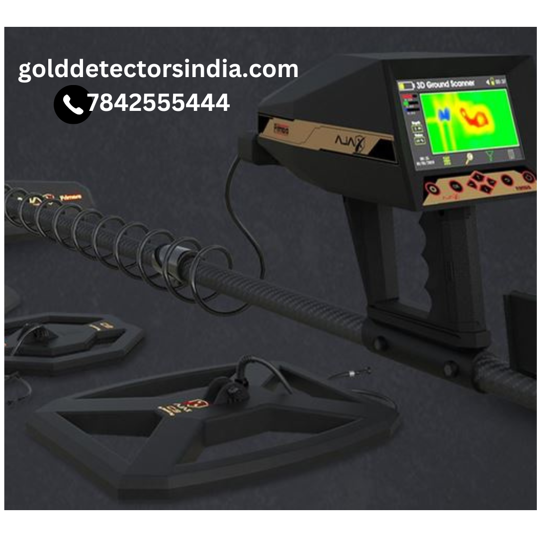
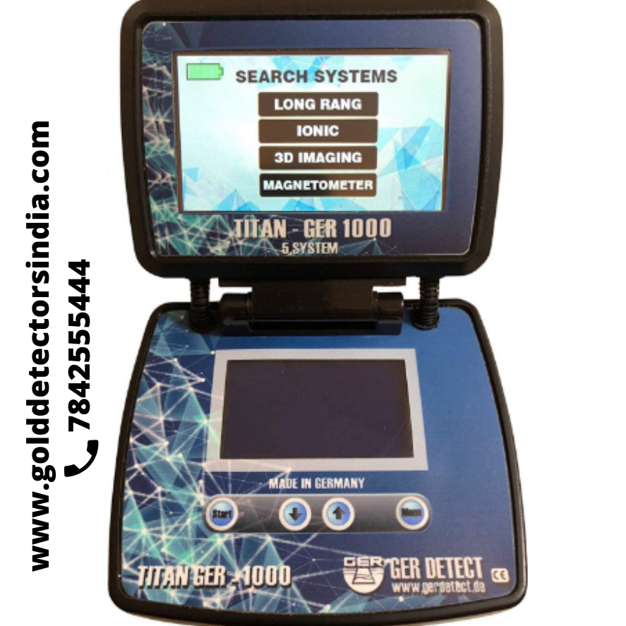
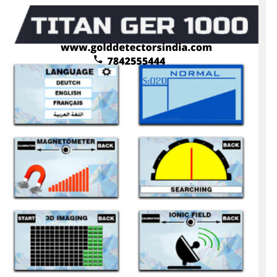
3D Locators is the first equipment to offer three stages of survey technology.It incorporate three technologies to provide precise and best results. It is awarded one of the best and finest equipment today as it is easier for the user to track the targets with the 3D images obtained.
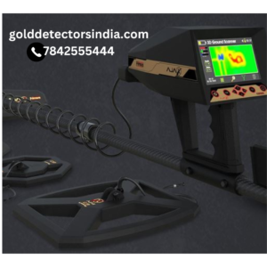
These 3D locators provide best results using 3D images of the targets found on the LED screens. These are helpful for hunting in an appropriate direction.
stage 1: Long Range Survey.
The long range survey helps to locate the best place where it saves lot of time for geologist to locate in vast areas.
stage 2 : Geo Frequency Survey.
The Geo frequency survey helps to analyse the point weather it’s suitable or not .Also helps to generate the report.
stage 3: Geo Magnetic Survey.
The Geomagnetic survey is a pinpoint survey which helps to locate point in very small area.
Geo-frequency survey can be carried out even in small areas where the land is 10:10 meters thus it’s useful in small area survey.
TOP 3D LOCATORS FOR YEAR 2020
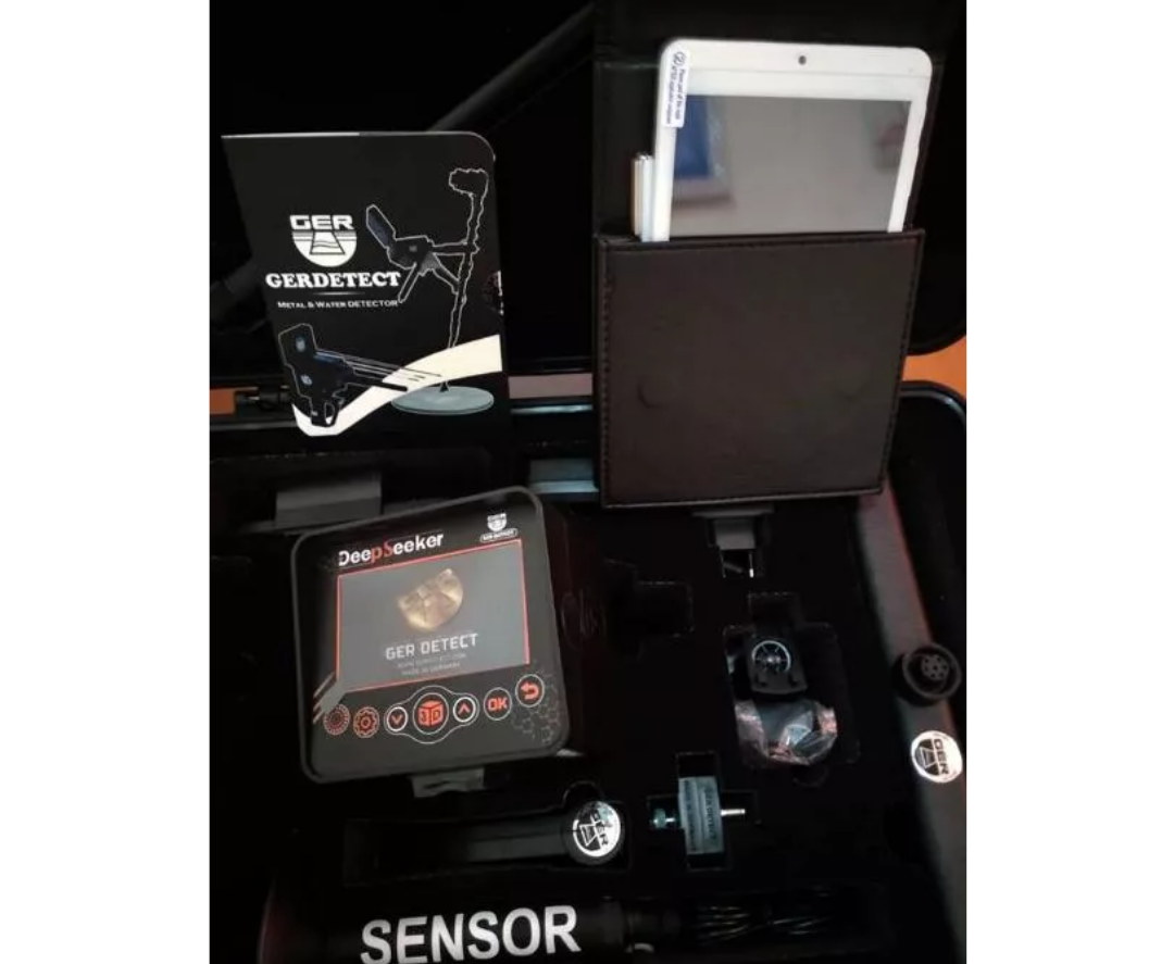
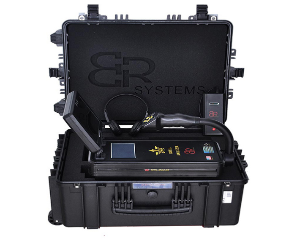
As per the survey conducted internally the most productive 3D locators found are:

